- Related documents Related
- Full details Details
- Report document? Report?
Use the data export button to extract customised data sets from the Ship Plan and Survey Report Collection. Available in TSV and CSV formats.
Date recorded as the time of writing.
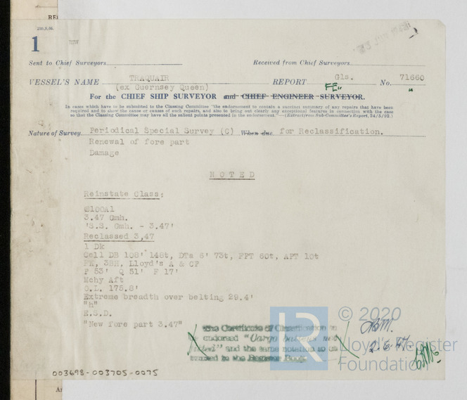
02/06/1947
The year in which a vessel’s construction is completed.
1939
The individual and/or organisation listed as having been responsible for constructing the vessel. This can/may be the same as the owner and/or manager.
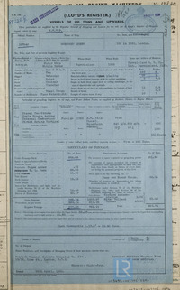
The Burntisland Shipbuilding Co Ltd
The port or place in which the vessel’s construction took place, at the time of writing.
Burntisland
Other/additional record(s) specifically mentioned, referenced or associated to another record.
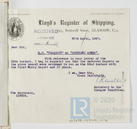
Glasgow 71660
A vessel’s means of propulsion.
undefined
Is the steamer assisted by sail?
No
Is machinery fitted at the aft of the vessel?
No
Generally a smaller additional auxiliary boiler (often used while the vessel is at port).
No
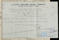
Name of the Proving House responsible for the public testing and certification of a vessel’s anchors and/or chain cables.
No
Contextual information related to the reasons of the vessel’s loss or disposal.
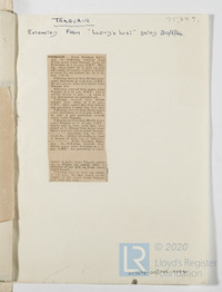
Foundered
Vessel’s area of loss or disposal/last known recorded location.
East of Aldeburgh
Physical extent of a record.
1
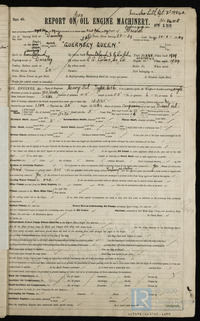
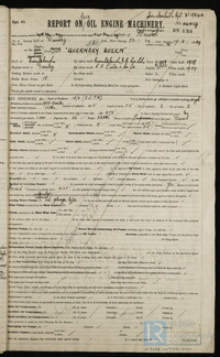
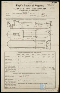
Name of ship as recorded on the record
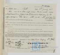
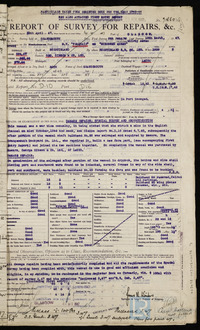
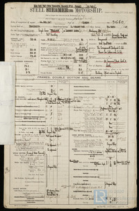
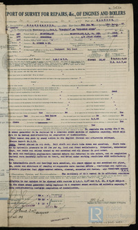
Traquair
The process of transferring a vessel to water, but not necessarily her completion.
05/04/1939
Unique identifier for a given ship, it is assigned by a builder.
228
Official administrative title (often printed) of a record used by Lloyd’s Register or external organisations.
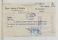
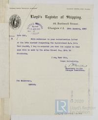
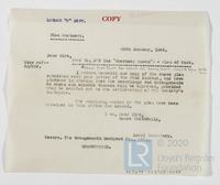
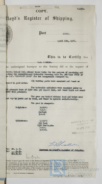
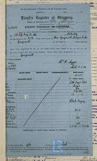
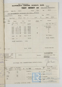
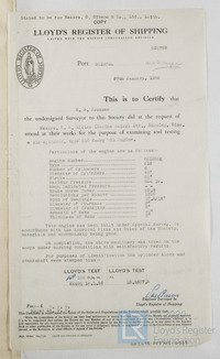
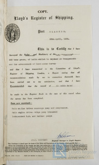
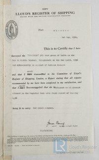
Memo
Records that constitute Lloyd’s Register’s first official encounters with a specific vessel, e.g. a survey report.
N
Predominant material(s) utilised in a vessel’s construction.
Steel
Confirmation as to whether the vessel was equipped with refrigeration machinery to aid in the transport of frozen or chilled cargo/goods.
No
Does the vessel possess an auxiliary power source?
No
Is electric lighting fitted to the vessel?
No
The official record pronounced by the Committee
Foundered
Vessel’s place of loss or disposal/last known recorded location.
Lat 52 12N, Long 2 35E
Recorded date for the vessel’s loss or disposal.
18/08/1956
Report an issue with this document
Have you noticed missing or incorrect data or images for this document?
Please let us know and we will rectify the issue as soon as possible.

